Google Earth AI is being used to forecast disease outbreaks
Prototypes built on Google Earth AI pinpointed 48 at-risk settlements and more than 45,500 people during the Ebola outbreak in the Democratic Republic of Congo.
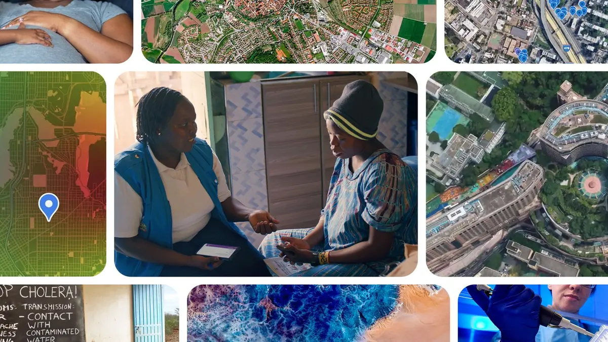
Google says its Earth AI models are now being used to forecast disease outbreaks rather than only map them. In research papers published on 6 October, the company and its global health partners describe pairing satellite imagery, mobility data and environmental signals with foundation models to fill the reporting gaps that leave public health teams working blind.
Two prototypes, and an Ebola outbreak
The work rests on two models: AlphaEarth Foundations, which turns satellite and environmental data into usable signals, and the Population Dynamics Foundation Model, which folds aggregated search trends, mobility and environmental patterns into a high-resolution picture of a community. A Geospatial Reasoning agent wraps those capabilities in conversation, so a health team can ask spatial questions in plain language instead of processing layers of data by hand.
During the Ebola outbreak in the Democratic Republic of Congo, the WHO's Regional Office for Africa hub in Dakar and the DRC's National Institute of Biomedical Research were given access to two prototypes: the Geospatial Reasoning agent, and a planetary prediction engine for autonomous disease forecasting. The WHO AFRO team used the reasoning agent to map remote mining corridors where exposure risk and human mobility are both high. In minutes it identified 48 exposed settlements and more than 45,500 at-risk people — work Google says would normally have taken weeks.
From outbreaks to everyday disease
The same foundations are being aimed at slower-burning problems. Researchers at NYU Langone Health integrated real-time population signals into chronic disease models and projected same-year cardiovascular mortality with performance comparable to conventional methods. At Mount Sinai Health System and Boston Children's Hospital, teams used behavioural patterns on either side of the US–Canada border to sharpen vaccination-rate estimates for measles, mumps and rubella. At the University of Oxford and Tecnológico de Monterrey, combining the population model with local climate data improved dengue forecasts across Mexico; in the DRC, pairing epidemiological records with the model improved the identification of cholera-prone health zones up to eight weeks ahead.
Getting the data to the people who need it
Embeddings from the Population Dynamics Foundation Model are available commercially in preview as Population Dynamics Insights, a geospatial dataset on Google Maps Platform, with no-cost access available on request for selected use cases. Eligible organisations can apply for Google Earth credits through Google's public programmes, and Google.org has funded the INRB to modernise local testing and disease surveillance.
Our opinion
The number that matters in Google's write-up is not the size of a model but the speed of a tedious task. Finding 48 settlements and 45,500 people in minutes rather than weeks changes what an outbreak response can attempt, because it moves work out of the column labelled 'eventually' and into the one labelled 'today'. Geospatial intelligence has been available to well-funded epidemiology teams for years; putting it into a conversation window is what makes it usable by a district health officer with a phone.
The caveats are where I would push back. These are research prototypes handed to partners during an emergency, not a product with a service-level agreement, and the results depend on the quality of mobility and search data in exactly the places where coverage is thinnest. Google's answer — preview access, credits, and a foundation's funding for one national institute — is a pilot's answer, and public health systems cannot plan capacity around pilots. The test of Earth AI in health will not be a paper showing it can forecast dengue. It will be whether a health ministry can afford to run it, and trust it, on an ordinary Tuesday.