Google Maps labels Lake Ontario “Lake America” in US searches
Google Maps is showing “Lake America” for Lake Ontario in the United States after a federal geographic-name change, while other regions retain Lake Ontario.
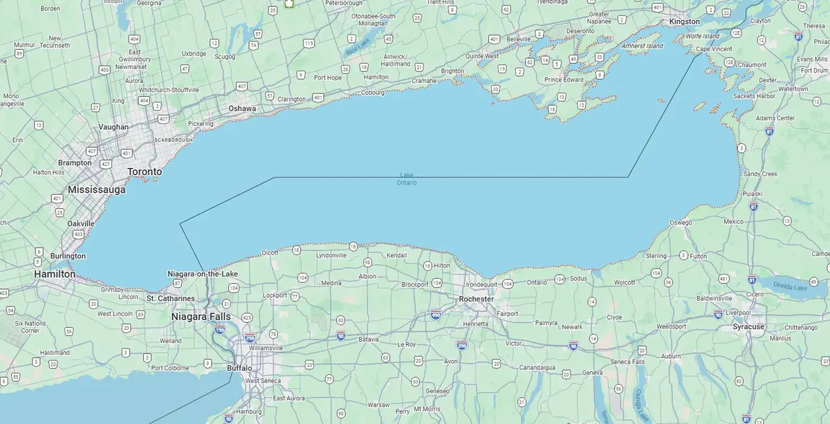
Google Maps is showing “Lake America” instead of “Lake Ontario” for users in the United States, turning a geographic naming dispute into yet another minor battle in the world’s most frequently consulted map app.
What’s actually going on: Google says Maps follows the Geographic Names Information System, the US government’s official geographic naming database. In US searches, the lake is displayed as “Lake America”, while users elsewhere continue to see “Lake Ontario”. Google’s approach follows the regional naming rule rather than forcing one label worldwide.
The distinction matters because the lake sits between the United States and Canada, and Canadian usage remains Lake Ontario. The change therefore affects what people see on Maps in different countries, not the physical geography or the long-established international name used by Canadian authorities and the wider public.
The practical result is a map that can show different names for the same body of water depending on where the user is browsing. That is consistent with Google’s stated data policy, but it also means screenshots and directions can now become unexpectedly political — because apparently even lakes need regional content moderation.
Our opinion
Google is following its data source, but “technically consistent” does not make the result any less surreal. The sensible editorial approach is to use Lake Ontario as the internationally familiar name and explain the US display difference, rather than pretending a map label has rewritten geography.